Thursday, April 27, 2023

Ecuador 2022 - Cloudforest, Coast and Craters Tour - Day 7 - Chugchilan to Quito

Was it the last day already? Oh man, this went by too fast.  Even though we were pretty tired by now, I really hated to see this trip end.  Only the ride back into Quito today and turn the bike back in.  I had no expectation of how beautiful the journey would be.

Again our ample breakfast was included as our hosts pampered us to the very time we had to leave.  I wanted to make sure that we got back into Quito well before 5:00 when the traffic really gets bad. We had the option today of an off-road route but we elected to stay on pavement and I'm glad we did.

After many hugs from our hostess, we set out on the Sigchos Highway to make our way back down to the Pan American Highway for the last segment into Quito. In the map below, our starting point in Chugchilan is in the lower left corner and we followed the highway north and then east.  The route was three times as twisty as the squiggly line represents. Left and right and left and right.  It was unending. Up and down and again as well.  It was definitely the twistiest day on the road.


Despite being in such a mountainous area with literally no flat areas, there were fields of crops everywhere on the side of the mountains.  It was astonishing to see the farmers out working the fields by hand. No modern machinery. Just back breaking work.


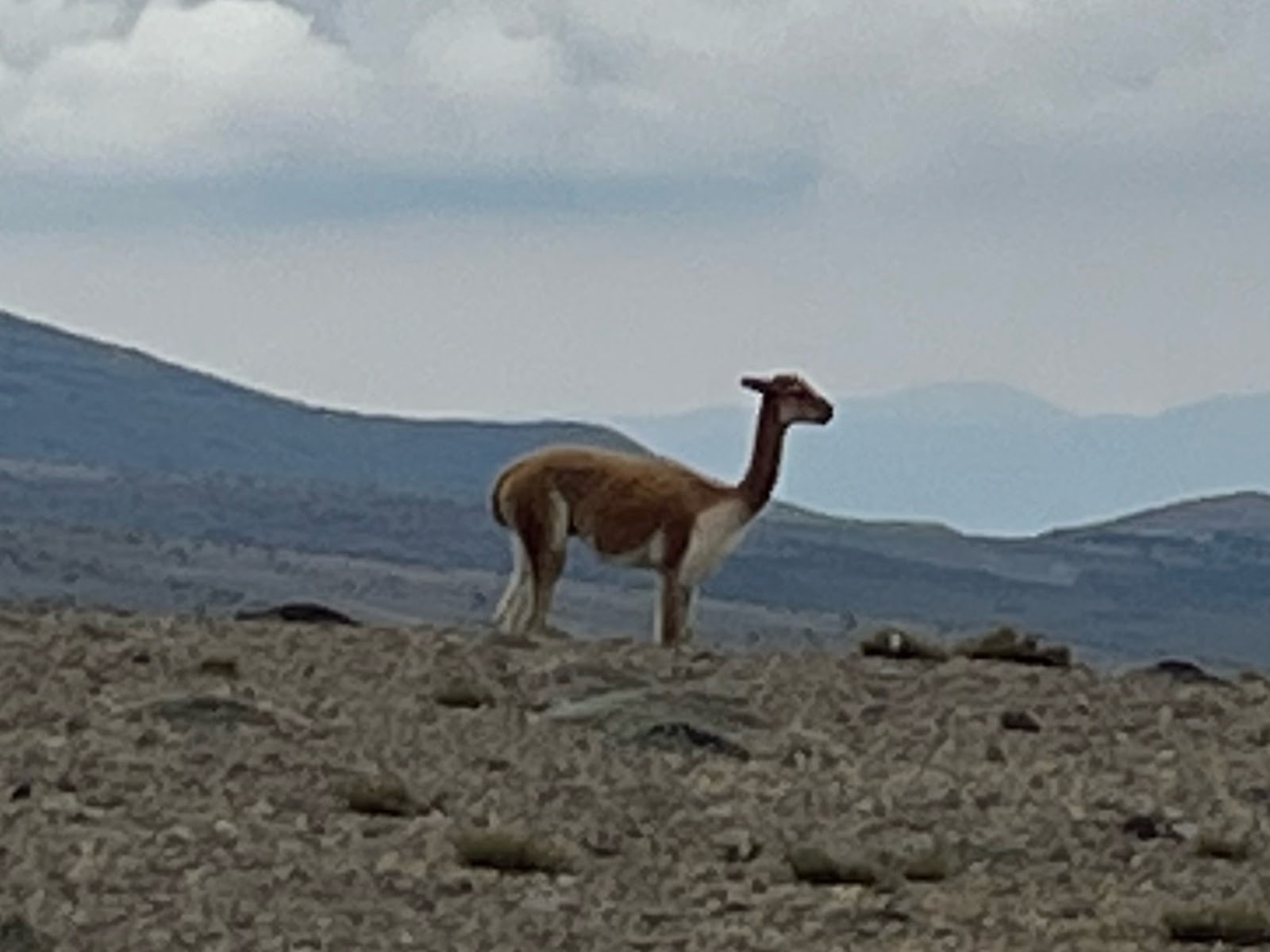
We passed through the namesake village of Sigchos and made the turn east towards the Pan American.  Little did we know that we had another 13,000+ ft pass to climb before reaching the flatlands beyond. Just some pictures to illustrate the beauty of the area.

The Sigchos Highway. Absolutely spectacular. A great way to end the trip.

Landscape on the Sigchos Highway

Rio Chisulchi

On the climb up to the side of the Iliniza Sur Volcano

Once over the pass we traversed another high altitude plateau and slowly began to descend into the vast flat valley between the Ilniza Sur and the Cotopaxi Volcanoes.  Cotopaxi is the highest altitude active volcano in the world and is in an extremely active phase right now.  We were told to be aware of the status of Cotopaxi during our stay.

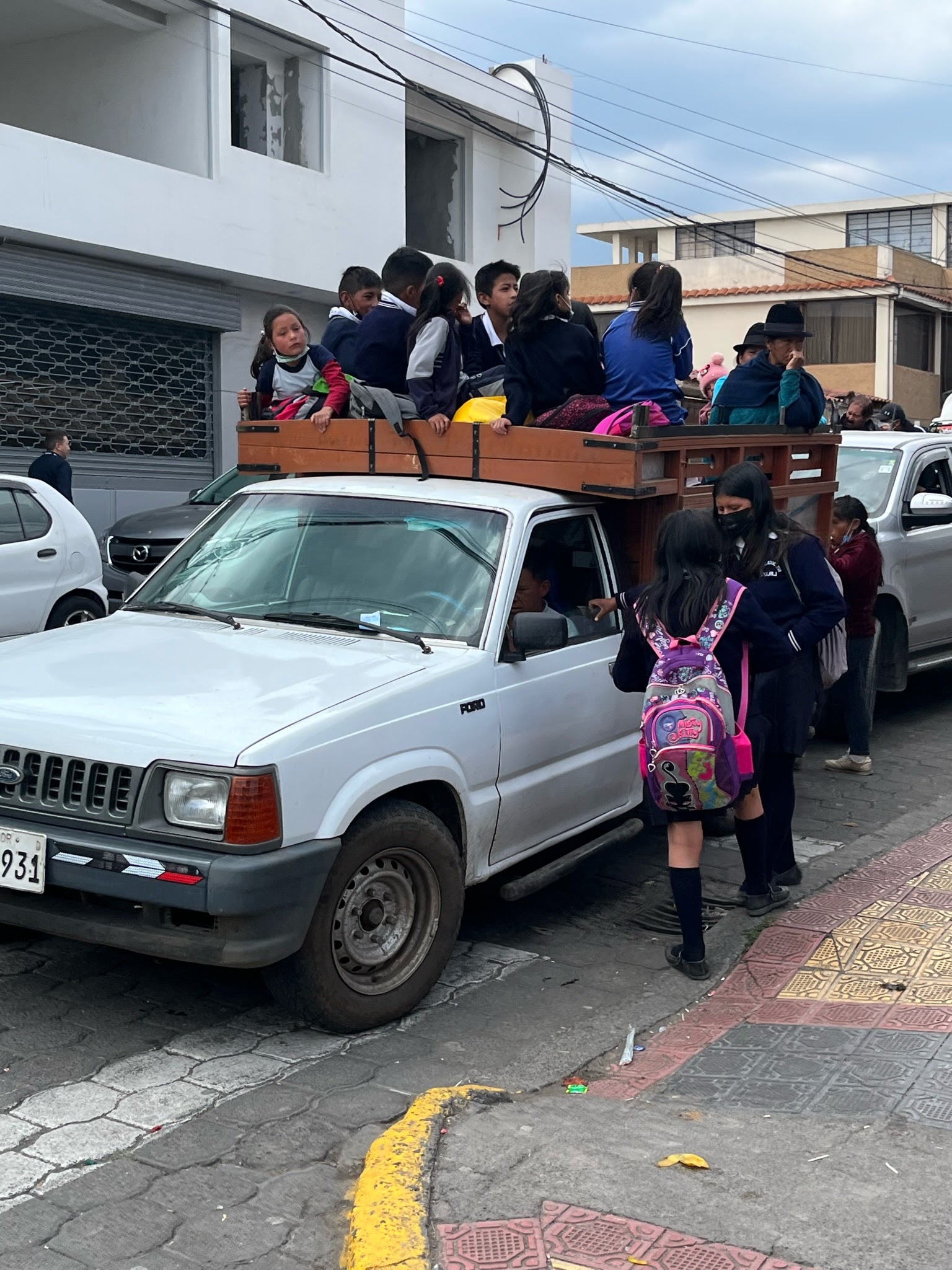
As we reached the flatlands the temperature moderated a bit and we cruised into Tanicuchi where we were routed through some very bumby back streets to a large industrial rose plantation.  Ecuador, it turns out, is the largest exporter of roses in South America.  Plantations are spread all over the area.  We pulled into the plantation and were welcomed into the visitors center.  The tour operator had included this tour as part of the package.  As you can imagine, the vast greenhouses were kept quite warm which made it uncomfortable to walk through in our heavy riding gear. But the aromas were amazing.  Our guide told how cut standards vary throughout the world.  What we see for "long stem" roses in the States are between 24 and 36 inches in length.  The Russian standard is 6 feet!  She explained how only a small percentage of roses are developed to include a scent. Most are designed with very little scent. Below are some snaps of the greenhouses, the sorting room and the shipping room.  It was a very nice break during the day.


After the excellent tour we saddled back up for the final push back into Quito.  The Pan American Highway at this point was 3 lanes each way and was very much like an Interstate, except for the line of vendors parked on the roadsides selling anything imaginable.  It wasn't junky, just something that you would not expect to see.  A little over halfway to Quito we exited the Pan American onto the Simon Bolivar Avenue which led us towards downtown.  This area got quite busy even at 1:30 in the afternoon. As we neared the La Carolina area where our destination was, we were routed off onto the Avenue of the Conquistadors, the "old" highway into Quito.  This is a narrow, practically single lane road full of switchbacks climbing up a near vertical cliff.  It was also packed with traffic.  It wouldn't have been bad if there were no traffic, but this was miserable.  I was tired and could have done with bypassing this part of the route.

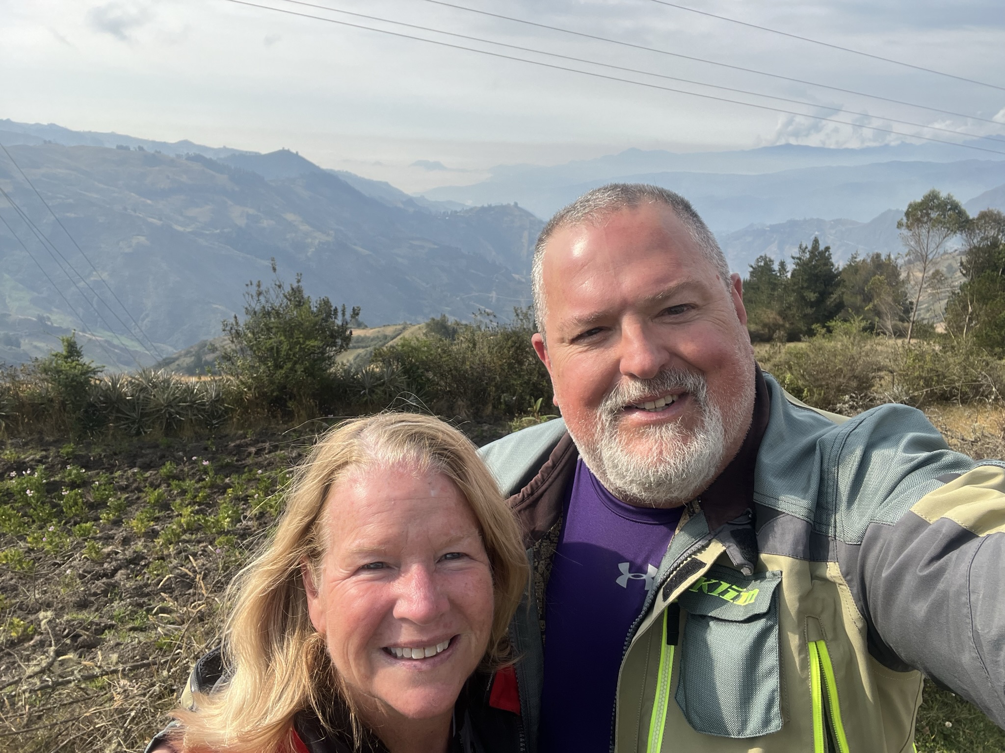
After topping off with some gas, we made our way back to the Freedom Bike Rental HQ to complete the tour.  It was difficult to grasp the finality of what we had experienced over the course of the week.  I couldn't have shared the experience with anyone else as I did with Karen.  She was a real trooper and was a great passenger.

The staff was excited to see us and the owner was visibly relieved to see that the bike was all in one piece.  I know that they were worried about the load the bike was going to carry, and frankly, so was I.  The bike was going out on another rental the following day so after we unloaded they wisked it away to the impressive workshop to do an oil and tire change along with a thorough clean up.  The big Suzuki performed flawlessly.

I was feeling rather funky so I took advantage of the shower at the shop to rinse off and change into street clothes.  We retrieve our luggage from storage and repacked for the journey home.  The rental company called a taxi driver that they knew and we said our thanks and goodbyes and headed off to our hotel near the airport.

I had used Hotels.com, as I normally do, to locate a hotel near the airport and found a Best Western Premier for a good price.  It was located in the suburb of Rincon which, at first glance, seemed to be on the impoverished side.  Our driver took a few wrong turns but finally was able to locate the hotel.  As before, the outside 8ft high walls didn't inspire confidence but once we walked through the gates we were again in a slice of paradise. Who know such an exquisite hotel was behind the walls. The gardens, the pool, the opulence was so unexpected and welcome.  I think I paid about $89.


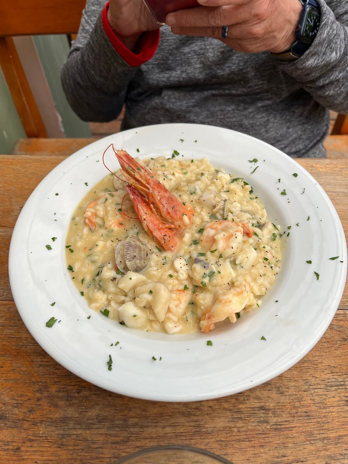
After getting settled into our room, we wandered down to the restaurant for dinner.  And a dinner it was.  Arguably the best of the whole trip. Karen had a surf-n-turf plate and I had a meat lovers dream plate.


The restaurant had such interesting ceiling features that I had to walk around and snap some photos.


After exploring the hotel after dinner, we went back to the room for some final packing for the trip home.  This would be our 8th night in Ecuador. As had been our custom since arriving, we requested a fan for the room which the hotel staff delivered promptly.  I think I was asleep before my head hit the pillow.

Homeward bound tomorrow.


Ecuador 2022 - Cloudforest, Coast and Craters Tour - Day 6 - Banos to Chugchilan

We woke up a bit slow this morning as the trip was starting to wear us down a bit.  Now I understood why there are built in "rest days" on some of the other trips.  I wish that we had the option to just stay in Banos for an extra night.  Regardless, we had about 114 miles to cover today which doesn't sound like a lot but on this trip it was going to be 7-8 hours of saddle time.  We rolled out of bed and set out for our morning search for coffee.  Once again, our hotel served us a filling and tasty breakfast.

The night before we had noticed a line of lights leading up the mountain across the river from us that ended in what looked like a cluster of buildings on top of the mountain.  We didn't know it at the time that this would be our route leaving town.

Crossing the Rio Pastaza leaving Banos

We set out at 9am and made our way north through the still sleepy town and crossed the bridge leading to the Via Las Antenas, the Road to the Antennas. That squiggly line to the right was a single lane cobblestone road that climbed over 3000 ft in only 4 miles!!  Guard rails? Who needs guard rails? Those are for sissies.  This was the one time the entire trip that I wasn't sure if my riding skills were up to the task.  I was really nervous since we were doing this steep ascent 2-up.  I have to compliment Karen in that she kept absolutely frozen (out of fear?) on the back of the bike and didn't cause any balance issues. It's also the reason that there are no photos or videos. It may sound silly but it took us 45 minutes to cover just these 4 miles.

When we finally did reach the top we were blessed with a front porch view of the Tungurahua Volcano.  This is a very active volcano that routinely spews ash and gasses.  Unfortunately, once again the persistent cloud layer blocked our view of the summit.

The spot we were in boasts several locations where you can sit in large swings and be pushed out over the ledge.  No way no how was I going to do that.  Karen had a fun conversation with the local cafe owner who was trying to teach Karen how to say Tungurahua.  Unsuccessful. lol.

One hour down and we've covered 4 miles, only 110 to go.  Continuing along the Via Las Antenas, we started our descent in an area of rural farmlands.  It was just lovely.


We were somewhat curious as to what was being grown in all of the greenhouses out on the farms.  This area was obviously the corn belt of Ecuador as the fields were filled with enormous stalks.

We made our way down into the small towns of Patate and Pillaro, bypassing the large city of Ambato.  It was such a relief to stay out on the rural roadways.

Once we reached San Miguel de Salcedo, I was having difficulty following the exact route through the small city.  This actually turned out to be a blessing as we ventured into parts of the city that were so culturally enlightening.  Safe by all means but so authentic.

Needing a potty break and to stretch our legs I spotted a small clown figure on the sidewalk next to a micromercado, a small family roadside store.  The clown figure indicated that they served ice cream which is what this area was known for.  Just across the road was a park with some public restrooms but, of course, there was an attendant expecting a quarter for each of us to visit.

The street that we stopped on was also where all the city schools were located and it was siesta time where all of the kids go home for lunch.  It was a pleasure to see the children in their varying school uniforms walking in small groups.  The child of the mercado owners took over attending the store during lunch while mom left to run errands.  The picture below is my favorite of the trip capturing Karen enjoying her real-deal coconut ice cream.

Enjoying a roadside snack

Following our break, he continued heading west down the street on our way to the Pan American Highway.  The GPS track, unfortunately, had not accounted for a one-way street where a policeman was guarding the road as it was still dismissal time for the elementary school up the street.  We finally got turned around and had to improvise our way out to the main road leading to the highway.  Upon reaching the highway, we had our first experience of high speed travel for the trip along the Pan American which can be quite crowded at times.  Fortunately, we only had to go about 15 miles north where we exited for the next segment of the day.


For the next 24 hours we would be traveling on the Quilotoa Loop, a scenic route north that avoids the Pan American.  We had to go trough the small city of Pujili that wasn't too bad.  The city center included a park with an impressive stairway up to the top of a hill overlooking the city.  Given that we were already at 9,000 ft elevation, we decided to pass on climbing the stairs that day.  Maybe someday. Not!  Below is also a picture of the local school bus as it was time for the children to head back to school for the afternoon session.


Leaving Pujili we began to climb again into the Andes ranges where vast farms and ranches existed.  Many of the farmers lived in semi-dugout thatched homes.  It also got quite cold again so we stopped to add layers.

High Altitude Grasslands on Quilotoa Loop

Photo Credit: Google Maps
One interesting and sort of sad aspect of this area, it was also known as the Perro Highway.  For the next 30 miles or so, dogs would sit on the side of the road, or even in the gutters, waiting for food to be tossed out of passing cars.  They were everywhere. Literally, hundreds of them along the way.  We didn't understand why they were there until we caught up to a delivery truck that would toss out small bread rolls for each waiting dog.  Certainly mixed feelings about it.  This reminded us of when we were told that animals and pets are treated very well in Ecuador.  Stray animals become the community's pets and residents voluntarily share food with them.  Seeing all the dogs on the highway had us dreading seeing ones that had been hit by passing vehicles.  Thankfully, we did not see one dead or injured dog during our time there. 


We continued on our way deep into the mountains and passing through several small towns.  I guess this brings up the time to talk about a negative about riding around in Latin America.  Muros, or as they are known in other countries as Topes, are large (sometimes extremely large) speedbumps that are placed at each end of town and sometimes in the middle of town.  In Ecuador, they are mostly marked quite well but there isn't a real uniform size or signage to alert drivers.  In some areas, business owners might build their own muros in front of their shops to encourage people to stop and shop.  Some muros were quite large which would cause the bottom of the motorcycle to scrape hard.  I would often have to do a serpentine crossing to hopefully minimize the scraping.  We only had one occurrence of where I missed seeing the muro and hit it a faster speed than was prudent.  Fortunately, it didn't launch Karen off the back but I still suffered the consequences of my lack of attention.


All along this route we could view the Chimborazo Volcano to the south as well as several other smaller volcanoes in the area.  Each provided its own majestic scenery.  As we closed in on our turn for the Loop in Zumbahua, we could make out the edges of a large ancient caldera.

Rim of an old collapsed caldera

Turning north we continued across the plateau and then started the ascent up the moderately sized Quilotoa Volcano to reach Laguna Quilotoa, Ecuador's version of Crater Lake. After paying the $2 entrance fee we proceeded into the park where we were warned to ignore all the "parking attendants" and ride past them to a specific spot on the rim.  The spot was just past the parking lot on a very potholed dirt path so Karen hopped off and walked the last 100 yards to the spot.  We were not disappointed with the effort. Absolutely beautiful.


The obligatory selfie on the rim of Laguna Quilotoa

We were a bit cold and hungry at this point as it was approaching 4:00 in the afternoon so we returned to the small summit village and found a small restaurant open in a fairly new structure.  A sign outside advertised hot chocolate and we were hooked. The owner/chef provided us a menu in Spanish and I could make out some soup offerings that sounded good.  We probably wouldn't have dinner for another few hours so we decided we'd have a small bowl each.  Holy cow.  Karen had this cheese soup with potato and an avocado, called Locro de Papa, and I ordered a chicken soup that came with a quarter chicken and a mashed potato ball.  We also each had a genuine hot chocolate that was simply awsome.  The total bill came to $12.  Wow!


Once warmed up and filled up, we ventured back outside to complete the 15 miles to our night's accommodations in Chugchilan. The road paralleled a magnificent gorge that seemed to go on forever.  Straight vertical walls for hundreds of feet.  About 3 miles from Chugchilan, the road put us in for a surprise.  A large barrier had been erected on a downhill slope that didn't have any notice or signage to warn you about it.  The detour pointed us off to the left onto a dirt path, not even gravel, that continued the descent down into the riverbed at the bottom of the gorge.  This was the one spot where I almost lost control when the front wheel washed out in some deep sand.  Fortunately I was able to keep us upright as we climbed back up to the roadway.  Apparently the bridge over the gorge had collapsed and was being rebuilt.  Whew.

We finished the day in Chugchilan with our arrival at Mama Hilda's Lodge.  Like many properties, the street view ain't much but once you pass through the portal you're greeted with a bit of paradise.  The grounds were stunning.  Our hostess instantly fell in love with Karen (really Karen's blonde hair) and did so much to make us feel welcome.  Our room was at the far end of the property where we could pull the bike right up next to it.  It was spacious with plenty of blankets and an awesome view across the valley.  After getting cleaned up we wandered back down to the main building where other guests were chillin in the bar/reading room.  It was really quiet and peaceful around the big roaring fireplace.  The whiskey collection was quite impressive I must say.  The included dinner was served at 7:30pm and was just as amazing as all the other meals that we experienced on the trip.  After dinner we retired straight to our room and passed out shortly after.  It was another incredible day.

Our beautiful room at Mama Hilda's


Wednesday, April 26, 2023

Ecuador 2022 - Cloudforest, Coast and Craters Tour - Day 5 - Salinas to Banos

Day 5 would be a day full of contrasts. Hot vs Cold. Peace vs Chaos. Dry vs Wet.  It's truly amazing how so many experiences can be gained in just one day. Incredible.  The day started with a definite chill in the air at the hotel sitting at over 12,000 ft in elevation.  Our host, bless her heart, didn't speak a word of English but my rudimentary Spanish seemed to get us by.  I felt sort of guilty that she had to fire up her kitchen to serve us a wonderful breakfast since we were the only guests in the hotel that night.  Always smiling, she scurried around to make sure we had everything that we needed.

Chocolate Factory at end of street
After breakfast we returned to the room to pack up.  While Karen was wrapping things up, I wondered down the hill to the chocolate factory.  Oh the smell!  Karen joined me and we were given a brief tour but the language barrier proved to be too much so we cut it short.  After purchasing a stash of treats, we headed back up the hill to the hotel.  Remembering that we needed water, I continued up to the little corner store and grabbed two bottles.  I gave the owner a $5 bill and she gave me back four Susan B. Anthony dollar coins in change.  I haven't seen a Susan B in a decade!  Interesting.

Our pre-ride briefing included guidance that today would involve a lot of altitude and temperature changes.  We were told to dress in layers so that we could add or subtract as needed.  The temperatures were not too bad (low 50s) as we prepared to leave so we dressed accordingly but had extra layers available in the luggage cases.


After climbing back up to the main highway, we turned south for about 15 miles and descended serval thousand feet in elevation until the GPS had us turn back to the northwest on the road to Ambato.  We were climbing again and gaining altitude very quickly.  After about 10 miles we popped above the tree line at about 13,500 ft.  It was getting downright cold at this point so we pulled over to add layers.

Up ahead lie the Chimborazo Volcano, the highest point on Earth.  Really. It's true.  Due to the Equatorial Bulge (the Earth is not a perfect sphere), Chimborazo is actually 3,000 ft higher than Everest when measured from the center of the Earth rather than sea level.  This is the closest spot on the Earth to the Sun.  In the picture below we are standing right at 14,000 ft and it was 34 degrees. Brrr!!!  Sadly we could not get the money shot of the summit due to the persistent overcast that day.

Highest elevation and coldest day of the trip

While we were stopped we were able to get up close to a few of Ecuador's vicuna population. The Vicuna is a smaller and faster relative to the more familiar llama.  
   

We had the option to turn up a road to climb up to about the 16,000 ft level but we were not sure if the weather was going to hold so we passed on the opportunity and continued on our way down the mountain.  

Riobamba would the last large city that we would have to traverse on this trip until arriving back at Quito. As we approached the city, the temperature again would rise to the point that it was uncomfortable but we really didn't have the opportunity to de-layer in all the chaos.  The tour operator had intended us to have lunch at a downtown restaurant but in the ensuing chaos I rode right past it and had a strong desire to just get out of town.  If I were to do a similar trip, I would find a route around the city center.  It was just too stressful.  Heading north from downtown we reached the area of an open air market which also happened to be the primary bus station.  People and buses everywhere!!  If I hadn't been so stressed, I would have liked to have stopped at the market and just walked around a bit.  Finally, on the north side of town we pulled in to a gas station for fuel and a much needed potty break (free bathrooms!!).  We were both drenched in the high temperatures of the city and spent a half hour off the bike just calming down before setting off again.

We were only about 45 miles from our destination in Banos when we left the limits for Riobamba following an amazing route, A490, up through a magnificent valley of the Rio Chambo and the Rio Pastaza.  This was such a relief from the chaos in Riobamba.  The road fluctuated between the low river level up to the highest cliff faces of the valley.  We had a constant view of the massive active Tungurahua Volcano which would be near our destination tonight.  We passed areas where volcanic ash had been swept to the side of the road.  Eerie for sure.

The tour operator had us avoid the major highway which would have taken us straight to Banos by having us cross the river and arrive via a backroad.  Here we experienced the first of several rock slide areas where a makeshift bypass was built around the slide.  Not for the faint of heart for sure especially riding 2-up. 

We finally arrived at our hotel for the night about 3:15 in the afternoon.  We were both worn out from the day. The Hotel La Posada del Arte is a sight to behold.  Funky. Crafty. And incredibly inviting are inadequate words to describe it. Our hosts opened the gates so that we could pull the bike in off the street and helped us unload into our comfortable room for the night.  We requested a fan for the room and one was promptly delivered.


View from the Hotel La Posada del Arte Courtyard

After a refreshing shower, we walked down the street in search of a meal since we skipped lunch in Riobamba.  Less than a block away we found an Italian place, Carpe Diem, that was open at that time.  We were the only ones in the restaurant as it was quite early for dinner but we were hungry!  Like everywhere else that we ate on this trip, the food was incredible.  We started with a magnificent charcuterie board and Karen ordered a seafood risotto that was to die for.  I didn't capture what I had and by now I can't remember what it was but I do remember that it was excellent.  To settle our nerves we also pitched for dessert.  Awesome.

After this experience we waddled our way back to the hotel and changed into our swimming gear as just up the street were some volcanic hot springs.  The hotel graciously provided us with the required skull caps and gave us some tips on how to secure our clothes.  We head out to make the short walk to the springs, paid the paltry $2 entrance fee, secured our clothes and proceeded to soak the day's stress away.  There are several pools at the site and each are at a different temperature.  There's a small super-hot pool that you start in and only stay for just a few minutes, then you migrate to the "main" pool where the temperature is just a tad bit lower and is tolerable for longer periods of time.  It felt sooooo good to just soak.  Watching others we determined that it is customary to get out after about 15-20 minutes and step into a cold water shower area.  Cold is an understatement.  The water must have come from the snow covered mountain nearby as it was numbingly cold but refreshing.  Then it was a quick return to the hot soaking pool.

A Virginia Loveworks in Ecuador

We spent about 90 minutes at the hot springs and decided to call it a night.  The walk back to the hotel was on jelly legs and I literally collapsed into bed.

On several of the other tours offered by Freedom Bike Rental, the town of Banos is set aside as a "rest day" where you spend 2 nights and use the day to explore the adventure activities that abound in the area.  If we visit again I hope to set aside Banos as a rest day.  There's so much to do.


Tuesday, April 25, 2023

Ecuador 2022 - Cloudforest, Coast and Craters Tour - Day 4 - Quevedo to Salinas

Pardon the long post - this was a great day!!!

Today was the day, my 60th birthday.  I was very apprehensive about the route as it was to be significantly off-pavement.  Thankfully, this turned out to be the highlight day of the trip.  It was planned to be only 79 miles but the elevation would climb from about 400 ft to over 13,000 ft in that short distance.  We would go from 95+ degree heat down to the low 40's over the course of the day.  I promise that the description of the day to follow will be grossly inadequate.  There are just no words to describe it.

November 8, 2022 - Quevedo to Salinas via El Corazon

We started the day with a leisurely breakfast (included) in the hotel restaurant and we packed up to leave the city.  As chaotic as the traffic was when we arrived the night before, it matched the chaos as we left.  The route laid out for us had us leaving Quevedo on some back roads through some palm, cacau and banana plantations. The roads were nicely paved and we stopped to enjoy the farmland and snap some pictures.  Traffic was light.


Cacau Plantation Banana Plantation


Once we crossed into Cotopaxi Province the landscape began to change as we started our climb up into the Andes.  Shortly we re-entered the Cloudforest where there is a persistent cloud layer from about 4000 ft up to 8000 ft. Riding through the clouds proved to be a bit damp but the road was clear and easy to navigate.  We just kept going up and up and up.  Our briefing included a specific instruction to top off with gas in Moraspungo as there would not be anything available for the next 100 miles of our journey.  I had been warned that the two ladies that operated the gas station were quite pretty and they certainly did not disappoint.

Leaving Morspungo we continued our climb higher and higher into the main Andes range.  The roadway was excellent and rather twisty.  


We eventually arrived in El Corazon where it was recommended that we stop for lunch at Pollo Sabroson.  For $20 total, Sergio and his wife served us up the absolute best bbq roasted chicken that I've ever experienced.  He had his charcoal rotisserie grill out on the sidewalk roasting chickens.  We were each served a quarter chicken, fried plantain, roasted tomatoes, and bread. As we were both a bit chilled we had some awesome Ecuadorian coffee.  According to local legends, Sergio also serves up some local "moonshine" called coco loco.  Yeah, the sample proved it to be legend-worthy.


Leaving El Corazon via a massively steep cobblestone street, we ventured out onto a freshly paved road where the curbs were still being constructed.  Thinking that we might have some good pavement for this segment was quickly changed after about 3 miles outside of town.  The pavement went to hard packed gravel and would remain this way for the next 30 miles.  Just after hitting the gravel we popped out above the cloud layer into a spectacular view of the Andes.  (this is the part that I promised that my words would not be adequate to describe)  


As we continued we noticed the abundance of smoke rising from the valleys where landowners were clearing their property in preparation for the planting season.  It was quite thick at times which took away from the majesty of the view but when you think of the hard work these people put in just to survive, it becomes understandable.

This section of road is so remote that you can't even create a route on it with Google Maps.  It just kept climbing higher and higher.  After traversing switchback after switchback, the scenery kept getting better and better.  The sun warmed us up and made for a comfortable ride the rest of the day.  In the video below we encountered a friendly gentleman making his way on foot to his next destination.


We saw schools all over the country but this one really took the cake.  Built on an outcrop above 10,000 ft in the Andes mountains.  Truly spectacular.

When we reached about 12,000 ft we pulled over for a break and to just absorb the scenery.  Personally, I was still trying to get my oxygen-deprived mind wrapped around the fact that I'm riding a motorcycle with Karen high in the Andes mountains of South America on a gravel road truly out in the middle of nowhere (No disrespect intended for the locals that call the area home. I'm the one that is a fish out of water).  

Somewhere between El Corazon and Simiatug

As we were catching our breath I noticed a young teenage girl in a bright pink t-shirt and jeans JOGGING UP (at 12,000 ft elevation) the road in our direction.  I turned back to look out over the valley and the next thing I know is this girl passing in front of me on a narrow trail that I hadn't noticed before.  This "trail" was no more than 18 inches wide with a 300+ ft drop off the edge of the mountain.  AND SHE'S STILL RUNNING!!  Karen and I just stood there gasping at this girl jogging down this trail to a small farm house hundreds of feet below us.  Unreal.

We decided to get moving after that and before we could mount up we heard the loud rumble of one of the ubiquitous transportation coaches bouncing down the road.

Hoping to not encounter another of the buses, we set off to continue climbing to the 13,400 ft summit of the pass ahead.  It was slow going with the gravel and the switchbacks but we did encounter a group of boys heading back to school after their lunch time siesta.

Just as we were reaching the summit pass, we encountered this native women in traditional attire walking down the road.  She stopped to wave like so many of the locals had done.  We enjoyed some incredible scenery as we continued to climb.


After the pass we descended slightly down into the small town of Simiatug.  Life was definitely at a slower pace here.  No cars or trucks to be found. Only horses, llamas, sheep and donkeys roamed the area.  Simiatug was the epicenter of a massive earthquake early in the 1900's that destroyed the church on the town square.  The remnants can be seen in the photo below off to the right side.


Leaving Simiatug, our prescribed route had us on a local gravel backroad that was questionable at times whether we were heading in the right direction.  We were blessed with riding by families out working in their gardens and tending their flocks.  Just not something we get to experience in the States.  Not far down (up?) the road we could see cars traversing on the main road ahead.  Pavement!  

Upon reaching the main road, it was only a short ride to our day's destination of Salinas de las Guaranda.  This high mountain town operated a small salt mine as it's only source of income until the 1970's.  A community so poor that an Italian missionary, with the funding from Swiss concerns, established a cheese producing cooperative whereby the employees would share the proceeds.  It was so successful that 20+ other cooperatives, including an amazing chocolate factory, were established in the community.  Today Salinas is quite unique in how the community operates on a cooperative basis.

It is safe to say that there is not a single level road in the small town. In fact, the streets are angled all different ways which made our arrival at our hotel quite interesting. I had to let Karen off the bike a block away so that I could safely manuever the big bike into the small driveway at the Hotel Cachi Yacu. It appeared that we were the only guests at the hotel that evening. This was the only location where we had difficulty with finding a good wi-fi signal but we survived.

To cover the 79 miles we took nearly 7 hours to complete but it was so worth it.  That evening we bundled up and walked a few blocks up the hill into the central part of town for a birthday pizza dinner.  What an incredible way to spend your 60th birthday!

60th Birthday Boy

That night we drifted off to sleep under several locally made blankets and enjoyed the cool temperatures.  At over 12,000 ft I had to admit I was having difficulty falling asleep as I was trying to catch my breath.  This was the only time on the trip where the altitude was giving me problems.  Karen expressed the same feeling.  Tomorrow promised to be another high altitude day so we drifted off to sleep as best we could.